
- Home to LMIC
- Virtual Labor Market Data System
- Career Exploration & Planning
- Consumer Price Index
- Demographics
- Economic Snapshot
- Employee Benefits
- Employment Projections
- Labor Force & Unemployment
- Labor Supply
- Overview of the Current Labor Market
- Surveys We Conduct
- Wages & Income
- Workers by Industry
- Tools & Resources
- Publications
- References
- What's New
- Can't Find It?
South Dakota e-Labor Bulletin
April 2024
South Dakota Stats on the Map
Looking for information about how many workers commute from one city to another for work, or how many people both live and work in your city? What about worker numbers by industry, educational attainment or sex? Are you a business owner wondering where you can possibly find more workers? If any of these questions sound familiar, check out the U.S. Census Bureau’s OnTheMap application.
OnTheMap is an application developed through a unique partnership between the U.S. Census Bureau and its partner states through the Local Employment Dynamics (LED) partnership. OnTheMap provides users with an easy-to-use online interface for creating, viewing, printing and downloading workforce related maps, demographic profiles and reports. OnTheMap can be used to answer workforce, transportation planning and economic development questions for very specific areas about commuting patterns, workforce demographics, wages and industry demographics. Data can be mined for multiple standard geographic areas as well as unique areas created by the user. The most current data available in OnTheMap is 2021, which was released in November 2023. There is also historical data back to 2002 for most participating states.
The employment data used in OnTheMap originate from payroll tax (unemployment insurance) records maintained by each state. The employer locations are assigned by states through the Quarterly Census of Employment and Wages (QCEW) program, and individual worker home locations are assigned by the U.S. Census Bureau using data from multiple federal agencies. Age, earnings and industry profiles are compiled using each state’s records along with other supplemental Census Bureau source data. Final compilations and confidentiality modeling are performed by the Census Bureau.
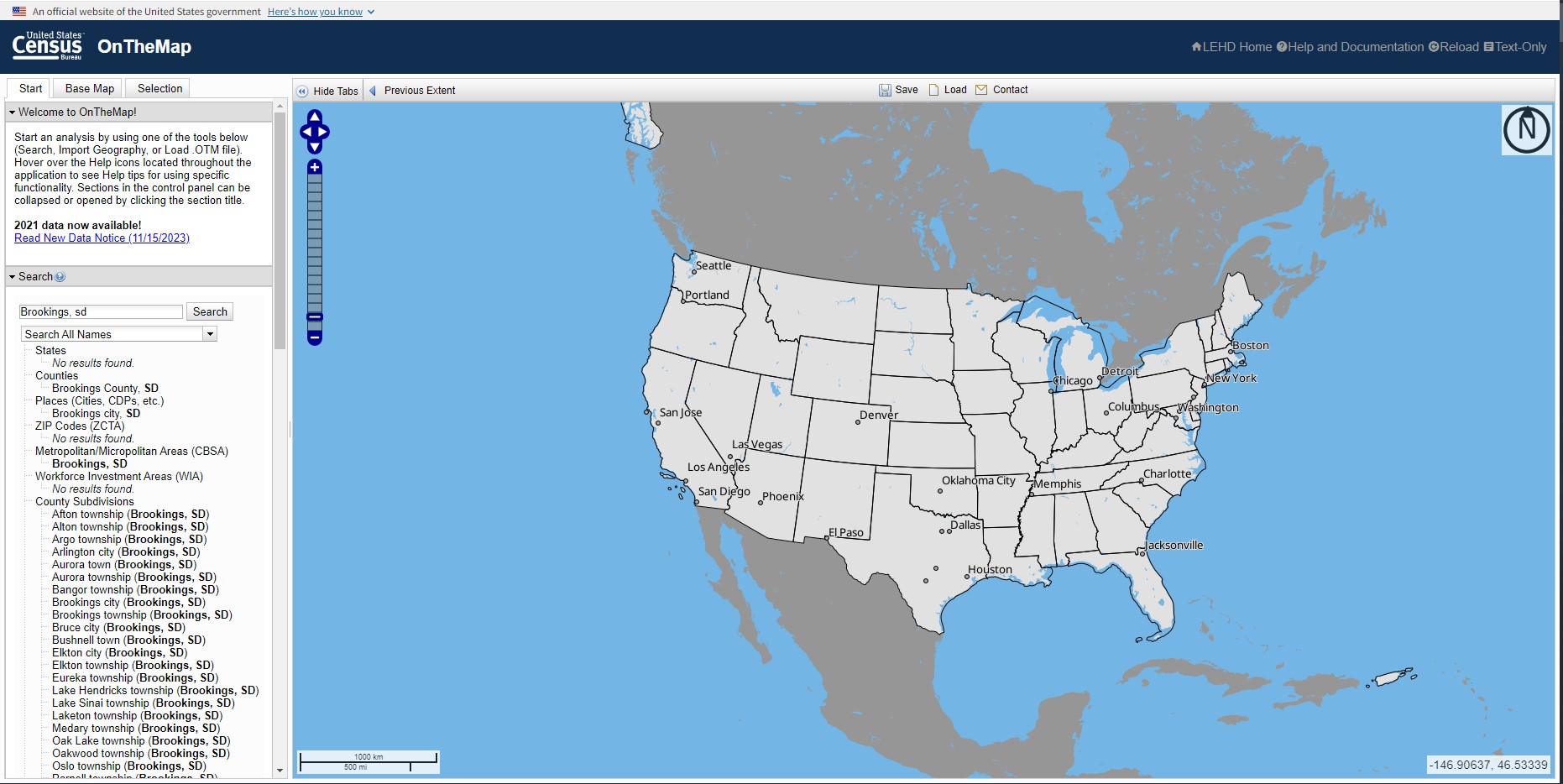
For an example of what OnTheMap can do, let’s take a look at how many workers who live in Brookings City commute to other cities for work. Begin by navigating to the application at https://onthemap.ces.census.gov/ and type Brookings, SD into the search box. Select the result that most closely matches the geography you wish to get data for. In this case there are three options: Brookings city, Brookings County and Brookings MiSA.
For this exercise Brookings City was selected. After selecting Brookings city, a box pops up in the map showing the geography selected. Within the box, select ‘Perform Analysis on Selection Area.’ An ‘Analysis Settings’ box will display with all the options available for the area profile. This analysis will begin by looking at the inflow/outflow of Brookings city, which displays how many people are employed in the selection area and how many commute in or out of the area for work.

By selecting inflow/outflow, 2021 and private primary jobs, the results show there are 10,841 employed (private primary jobs) in Brookings city with 6,590 who work in Brookings but live in another community; 4,251 live and work in Brookings; and 3,158 live in Brookings but work elsewhere. This data can be downloaded in a detailed report via PDF, XLS or HTML format as well as a printer friendly composite PDF version or collection of PNGs.

To get more detailed data on the area, choose ‘Change settings’ and the analysis settings box will display again. In order to see where workers are coming or going, select ‘Work’ because we are looking to see where people who live in Brookings commute to work. By selecting ‘Home’, the application would return where workers live who work in Brookings. Destination will be ‘Places’ so cities will display. Other options are available (such as states, counties, Metropolitan Statistical Areas (MSAs) and census tracts) by using the dropdown box.
The application will default to list the top 10 areas workers who live in Brookings city commute to work; however, the number can be changed in the Display Settings to show as low as five and as many as all areas. Sioux Falls tops the list at 596 for the most common destination of workers who live in Brookings, followed by Volga and Watertown. There is also an option to show the distance and direction of where the workers commute from within the analysis setting.

A work area profile will give a more detailed picture of the people who work in Brookings. This profile provides worker age and earnings by pre-defined categories as well as the number of workers by Industry, race, sex and educational attainment. The work area profile results show 55.8% of those who work in Brookings are men. We can also determine the Manufacturing industry has the largest workforce at 38.9% of the jobs. The following tables display all the data available from the work area profile.


OnTheMap offers the option to create unique areas in the advanced selection pane. There are options to draw specific shapes, and it is also possible to import shape files that are specific to the project users are working on. These unique areas can be created in the ‘Selection’ tab. To select the areas to be included, select the drawing tool. Areas can be selected by many different layers, use the ‘Add Layer Selection’ dropdown box. Another fun feature that can be used is a buffer around an area, for example, if the user wanted to include those who live within a five-mile radius of Brookings city. This analysis shows there are 11,610 employed (private primary jobs) in the selection area, which is within five miles of Brookings City limits, with 3,867 living in the selection area but working elsewhere; 5,947 employed in the selection area but living outside; and 5,663 who live and work in the selection area.

Another helpful tool from the LEHD program is OnTheMap for Emergency Management. This version of OnTheMap provides an intuitive interface for viewing the potential effect of disasters on the U.S. workforce and population. Users can retrieve reports containing detailed workforce, population and housing characteristics for hurricanes, floods, wildfires, winter storms and federal disaster declaration areas. To provide users this information for rapidly changing hazard event areas, OnTheMap for Emergency Management automatically incorporates real time data updates from the National Weather Service, National Hurricane Center, Department of Interior, Department of Agriculture and the Federal Emergency Management Agency.

The best way to learn how to use OnTheMap is by going out to give it a try or by looking over the help and documentation page. The application is fairly intuitive and provides great information employers and local leaders can use to make informed decisions about their communities.